Cape Cod parks and nature are split among more landlords than most visitors expect. The Cape Cod National Seashore protects much of the Outer Cape, the state runs parks and forests from the canal to Harwich, the federal government guards Monomoy’s islands off Chatham, Mass Audubon keeps wildlife sanctuaries with nature centers, and the towns look after places like Sandy Neck. Each has its own fees, dog rules and seasons, and knowing who runs a place tells you most of what you need to know before you park.
This page is for walkers, campers, birders and anyone who wants the Cape’s quieter side: the kettle ponds, salt marshes, dunes and dark skies between the beaches. The caveat that matters: rules for dogs, fires and shorebird nesting areas change through the season, so check the landlord’s page before you go. Details were checked September 23, 2026 against official sources.
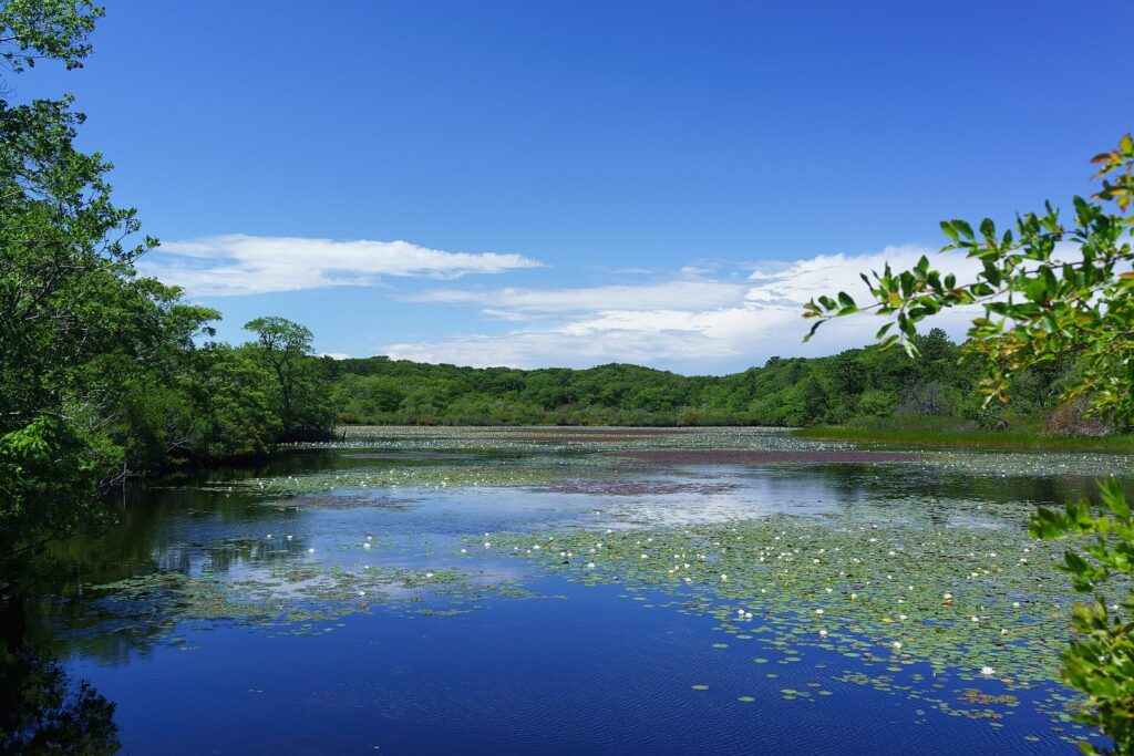
On this page: At a glance · Who runs what · National Seashore · State parks · Camping · Monomoy · Sanctuaries · Waquoit Bay and Sandy Neck · Night skies · Wildlife rules · Accessibility · Seasons · Day plans by region · FAQ
Cape Cod’s parks and nature areas at a glance
| Place | Run by | Town | Best for | Overnight? |
|---|---|---|---|---|
| Cape Cod National Seashore | National Park Service | Chatham to Provincetown | Ocean beaches, short trails, dunes, bike paths | No public campground |
| Nickerson State Park | State (DCR) | Brewster | Kettle ponds, bike paths, family camping | 418 campsites plus yurts |
| Shawme-Crowell State Forest | State (DCR) | Sandwich | Wooded camping near the canal | More than 285 campsites plus yurts |
| Scusset Beach State Reservation | State (DCR) | Sandwich | Bay beach by the canal, RV camping | 98 RV sites, 5 tent sites |
| South Cape Beach State Park | State (DCR) | Mashpee | Quiet beach, boardwalk, birding | Day use |
| Hawksnest State Park | State (DCR) | Harwich | Undeveloped woods and ponds | Day use |
| Monomoy National Wildlife Refuge | U.S. Fish and Wildlife Service | Chatham | Shorebirds, terns, gray seals | None |
| Wellfleet Bay, Long Pasture and Ashumet Holly sanctuaries | Mass Audubon | Wellfleet, Barnstable, Falmouth | Nature centers, easy trails, kids’ programs | None |
| Waquoit Bay Reserve | State and federal partnership | Falmouth and Mashpee | Estuary walks, island camping | 10 boat-in sites on Washburn Island |
| Sandy Neck Beach Park | Town of Barnstable | Barnstable | Dunes, marsh trail, off-road beach | Self-contained vehicles and two hike-in sites |
Who runs Cape Cod’s parks, and why does it matter?
Five kinds of landlord share the Cape’s protected land, and each one writes its own rules.
- The National Park Service runs the Cape Cod National Seashore. It collects entrance fees at its six fee beaches from spring through fall ($25 per vehicle per day in 2026, or $60 for a season pass), and the America the Beautiful pass covers them. The trails and visitor centers cost nothing.
- The state Department of Conservation and Recreation (DCR) runs the state parks and forests. Camping is booked through ReserveAmerica, and Massachusetts residents pay less than visitors from out of state.
- The U.S. Fish and Wildlife Service manages Monomoy National Wildlife Refuge, where wildlife comes first and people a distant second.
- Mass Audubon, a nonprofit, runs sanctuaries with staffed nature centers and sets its own hours and trail fees.
- The towns own beaches and conservation land, including Barnstable’s Sandy Neck, and charge their own parking fees in season.
Why it matters: a Seashore pass won’t get you into a town beach lot, dog rules change at every boundary, and a trail that’s open in October can be closed to protect nesting birds in June. When in doubt, read the landlord’s sign at the trailhead. The same split applies to the sand itself, which our guide to Cape Cod’s beaches covers coast by coast.
Cape Cod National Seashore: where should you start?
The Seashore is the Cape’s big park and the one most people mean when they talk about Cape Cod nature: ocean beaches, sand cliffs, kettle ponds, salt marsh and pitch pine from Chatham to Provincetown. Start at a visitor center. Salt Pond in Eastham is open year-round, daily from 9 a.m. to 4:30 p.m. (5 p.m. in summer), and Province Lands in Provincetown opens from May through October, with outdoor observation decks that stay open all year.
Then pick a trail. The park’s 2026 visitor guide lists twelve walking trails, and most take under an hour.
| Trail | Town | Length | Why go |
|---|---|---|---|
| Fort Hill | Eastham | 1-mile loop | Wide views over Nauset Marsh |
| Nauset Marsh | Eastham | 1.3-mile loop | Salt marsh and kettle pond from Salt Pond Visitor Center |
| Buttonbush | Eastham | 0.3-mile loop | Short, with Braille features |
| Atlantic White Cedar Swamp | Wellfleet | 1.2-mile loop | A boardwalk through a cedar swamp |
| Great Island | Wellfleet | 3.9 to 8.8 miles round trip | The longest walk, on soft sand; watch the tides |
| Pamet Area | Truro | 0.6 mile each way, plus extensions | Old cranberry bog and dunes |
| Beech Forest | Provincetown | 1-mile loop | Ponds and beech woods among the dunes |
Great Island is the one to plan. The walk is mostly soft sand, and its outer end can be cut off at high tide, so check a tide table, start early and carry more water than you think you need. The ponds you pass on other trails are kettle ponds, left when buried blocks of glacial ice melted at the end of the last ice age. Many are deep and steep-sided, and they’re fed by groundwater rather than streams.
Cyclists get three paved trails: Nauset (1.6 miles from Salt Pond Visitor Center to Coast Guard Beach), Head of the Meadow in Truro (2 miles plus a 0.8-mile connector) and the Province Lands loop (5.45 miles, with spurs to the beaches). For wheelchair users, the Doane Rock area and the Marconi Station Site have paved trails. Our full Cape Cod National Seashore guide covers the beaches, fees, lighthouses and historic sites in detail.
Verdict: if you only have one morning for nature on the Cape, spend it at Fort Hill and the Nauset Marsh Trail. They’re short, free, close together and about as good as a salt marsh view gets.
Which Cape Cod state parks are worth visiting?
The state parks do the jobs the Seashore doesn’t: camping, freshwater swimming and quiet woods. Five are worth knowing.
Nickerson State Park, Brewster
About 1,900 acres of pine and oak woods on the Lower Cape, laced with kettle ponds, bike paths and 418 campsites plus yurts. The campground runs from mid-April to mid-October. The ponds are the draw: clear water for swimming, paddling and fishing, and a very different feel from the ocean beaches a few miles away. The park’s paths connect to the Cape Cod Rail Trail, which runs about 25 miles through Dennis, Harwich, Brewster, Orleans, Eastham and Wellfleet, so you can leave the car at the campsite for days.
Verdict: the best all-round state park on the Cape, and the first one to book. Think twice about a July weekend if you’re after solitude, because that’s when the campground and the ponds are at their busiest.
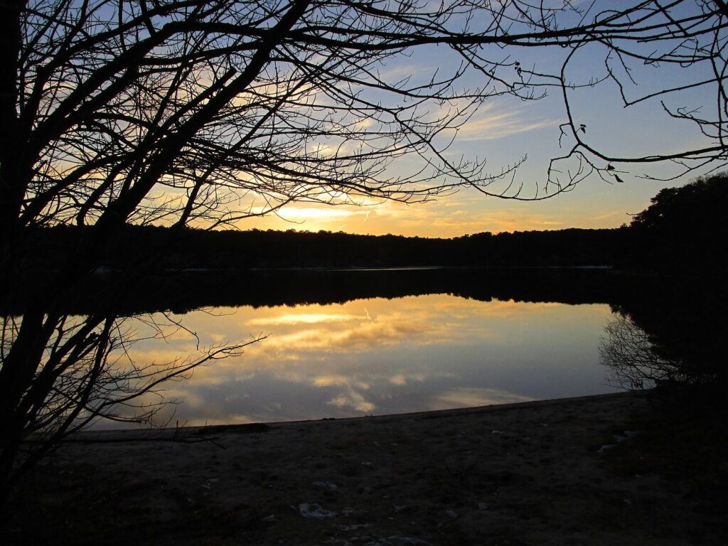
Shawme-Crowell State Forest, Sandwich
Close to the Cape Cod Canal and the Sagamore Bridge, Shawme-Crowell has more than 285 wooded campsites plus yurts, and its roads and trails stay open for walking in every season. It’s the practical pick if you want to camp near the Upper Cape’s villages and be first over the bridge on the way home. Sandwich village, with its boardwalk and old houses, is a short drive away.
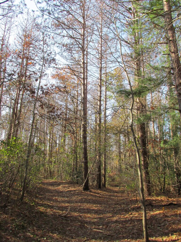
Scusset Beach State Reservation, Sandwich
At the east end of the Cape Cod Canal, Scusset is an RV place first: 98 sites with hookups and only 5 for tents. From May 14 to September 15, RVs can’t park in the main beach or jetty lots. The beach faces Cape Cod Bay, and next door the canal runs 17.5 miles, counting its approach channels, under the Army Corps of Engineers, whose service roads draw walkers and cyclists.
South Cape Beach State Park, Mashpee
Mashpee’s state beach has about a mile of sand, a boardwalk to a viewing platform, and beach mats and beach wheelchairs. It sits inside the Waquoit Bay Reserve, so the salt marsh and ponds behind the dunes are as interesting as the beach in front of them. It’s a good choice on a summer day when the better-known beaches are full.
Hawksnest State Park, Harwich
Harwich’s state park is the opposite of Nickerson: unstaffed, undeveloped and day use only. Come for a quiet walk through the woods and around the ponds, bring everything you need, and don’t expect a restroom.
Where can you camp on Cape Cod?
Camping options are fewer than the Cape’s size suggests, and the good ones book early. The National Seashore has no campground of its own, so tent campers head to the state parks, including DCR’s Wellfleet Hollow State Campground on the Outer Cape, or to private campgrounds in the towns.
| Where | Type | Sites | Season and booking |
|---|---|---|---|
| Nickerson State Park, Brewster | Tents, RVs, yurts | 418 plus yurts | Mid-April to mid-October; ReserveAmerica |
| Shawme-Crowell State Forest, Sandwich | Tents, RVs, yurts | More than 285 plus yurts | DCR season, generally April to October; ReserveAmerica |
| Scusset Beach State Reservation, Sandwich | Mostly RVs | 98 RV, 5 tent | ReserveAmerica |
| Washburn Island, Waquoit Bay | Primitive, boat-in | 10 | Reservations open up to six months ahead |
| Sandy Neck, Barnstable | Self-contained vehicles on the off-road beach; hike-in sites | A handful | Hike-in sites closed July 1 to August 15 |
Washburn Island is the Cape’s most unusual campsite: an undeveloped island in Waquoit Bay with ten primitive sites (nine family sites and one group site for up to 25), composting toilets and no fresh water. You get there in your own boat, kayak or canoe, and you carry in every drop you drink. It’s wonderful on a calm September weekend and hard work in a southwest wind.
Sandy Neck allows camping on its off-road beach only in permitted self-contained vehicles, the kind with a permanent toilet and holding tanks. Hikers have two spots off the Marsh Trail: a tent area 3.3 miles from the parking lot and a lean-to 2.3 miles in, with a marsh view. Both close every year from July 1 to August 15.
A few camping notes that apply everywhere: book the day your reservation window opens for July and August weekends, check yourself for ticks every night, and pack a warm layer, because nights by the water cool off fast even in summer. If a tent isn’t your idea of a vacation, our guide to where to stay on Cape Cod covers inns, cottages and rentals near the parks.
How do you visit Monomoy National Wildlife Refuge?
Monomoy is the wildest place on the Cape. The refuge covers 7,921 acres off Chatham’s elbow: North Monomoy, South Monomoy and Minimoy islands, plus the Morris Island unit you can drive to. Nearly half of it is federally designated Wilderness, which means no roads, no buildings and no services.
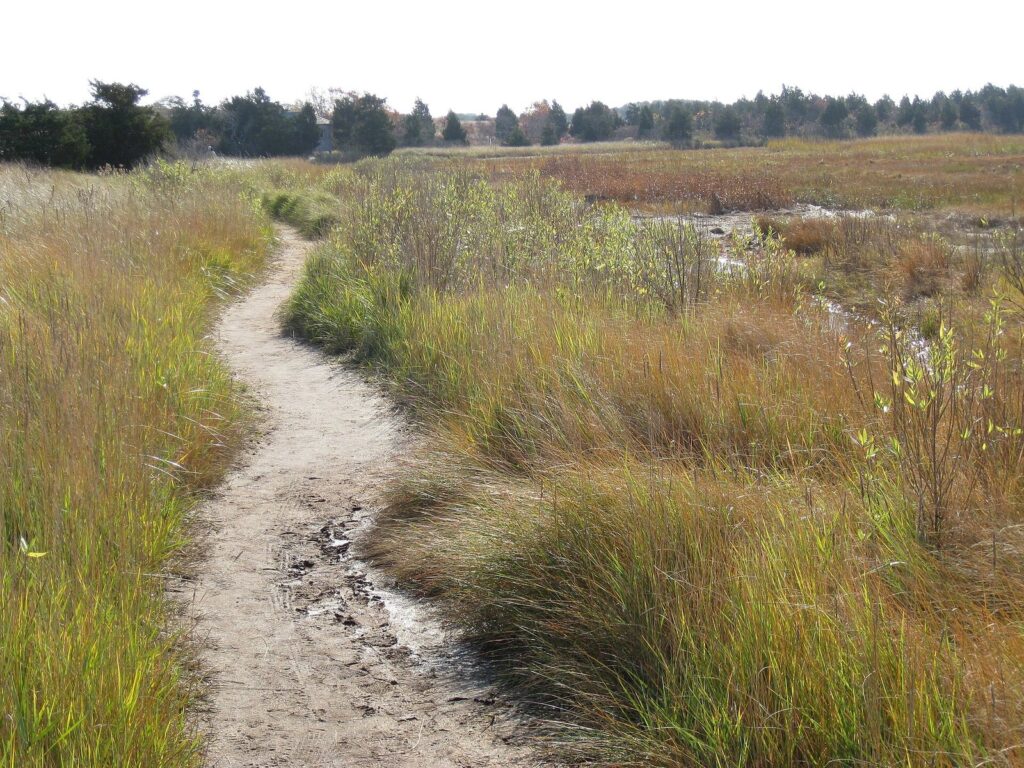
Start on Morris Island. Its trails are open year-round from the parking lot at 30 Wikis Way, where a summer information kiosk is generally staffed from 10 a.m. to 4 p.m. between May and September. The refuge headquarters at 791 Main Street opens only when volunteers are available, so don’t build a day around it.
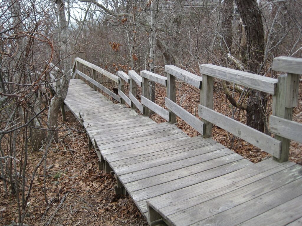
The islands are another matter. They’re reachable by boat only, and the Fish and Wildlife Service doesn’t run public boats, so most visitors see them from the water on a seal cruise. In 2026 the operators included Monomoy Island Excursions from Harwich Port, and Beachcomber Boat Tours and the Monomoy Island Ferry from Chatham.
What you’re looking at: gray seals hauled out on the sand, piping plovers, roseate terns, red knots, American oystercatchers, horseshoe crabs, and the largest nesting colony of common terns on the Atlantic seaboard, more than 17,000 pairs in 2022. Dogs are never allowed on the islands and are barred from Morris Island from May 1 to September 15; leashed dogs may use the Morris Island trails from September 16 through April.
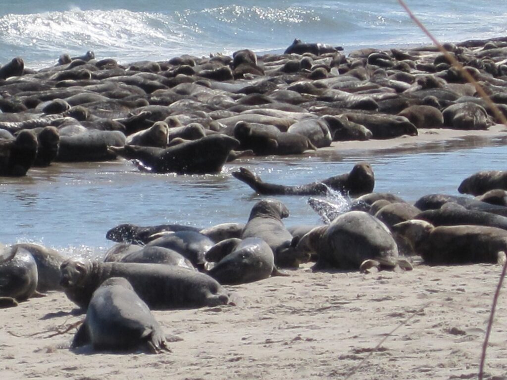
Think twice if you’re hoping to land on the islands on a whim. Without your own boat, and the skills to handle Chatham’s shoals, you’ll see Monomoy from the water, which for most people is the right way anyway.
Which wildlife sanctuaries should you visit?
Mass Audubon’s Cape sanctuaries are the gentlest way into Cape Cod nature: short, well-marked trails, staff who know what’s around, and programs built for kids. Check each sanctuary’s page for hours and trail fees before you go.
Wellfleet Bay Wildlife Sanctuary
About 1,183 acres, with about 5 miles of trails through salt marsh and pine woods and out to a barrier beach, plus a nature center with exhibits and aquariums. The All Persons Trail is built for full accessibility, and family drop-in programs run through the season. If you have one hour and children with you, this is the place. Our Cape Cod family vacation guide has more ideas for kids.
Long Pasture Wildlife Sanctuary, Barnstable
About 2.5 miles of woodland and meadow trails with views across Barnstable Harbor to the dunes of Sandy Neck, plus a small beach. It’s quieter than Wellfleet Bay and an easy stop on Route 6A.
Ashumet Holly Wildlife Sanctuary, East Falmouth
An 8-acre coastal plain pond with more than 30 kinds of dragonflies, about 1,000 holly trees of 65 varieties, and barn swallows that nest there every year. Go in summer for the dragonflies and swallows, or in December, when the hollies carry their berries.
Waquoit Bay and Sandy Neck: estuary and dunes
Waquoit Bay National Estuarine Research Reserve
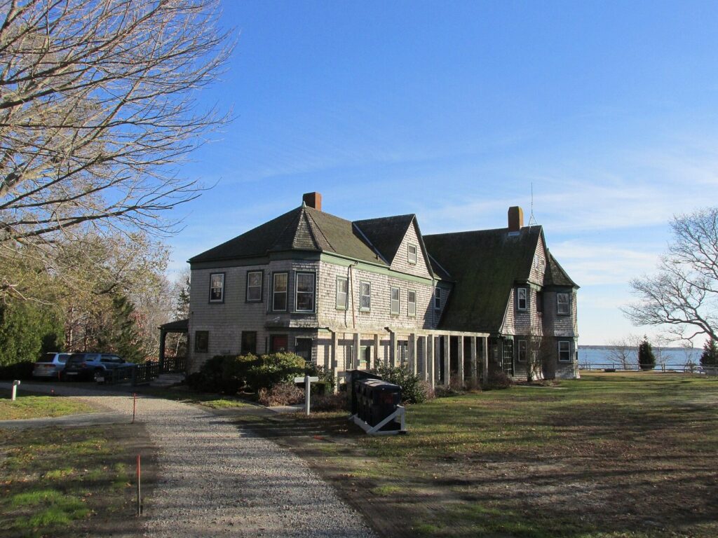
The reserve is a working research site that welcomes visitors. It takes in a visitor center at the head of the bay in Falmouth, South Cape Beach State Park, Washburn Island and the Quashnet River area, where trails follow a restored trout stream. Come here to see how a Cape estuary fits together: fresh water from the rivers, salt marsh at the edges, and a barrier beach holding back the sound.
Sandy Neck Beach Park, Barnstable
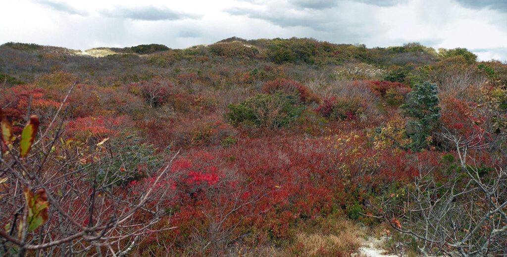
Sandy Neck is the long barrier beach that shelters Barnstable Harbor, and the town runs it. The Marsh Trail covers about 4.5 miles through dunes, maritime forest and salt marsh, and the shoreline walk is about 3.5 miles, so you can make a long loop of the two. Barnstable charges a daily parking fee in season, and part of the beach is an off-road vehicle corridor.
Soft sand is slow going. Allow more time than the mileage suggests, carry plenty of water, and wear a hat: there’s no shade on the dunes.
Where are the darkest skies on Cape Cod?
Away from Route 28 and the village centers, the Cape still gets properly dark. The Outer Cape is darkest: the Seashore’s beaches and dunes have almost no lights, and on a moonless summer night the Milky Way climbs out of the Atlantic. There are two good ways to see it with help.
- The Cape Cod Astronomical Society has offered free public viewing on Thursday evenings at the Werner Schmidt Observatory on the Dennis-Yarmouth Regional High School campus, when skies are clear: a talk at 7:30 p.m. on the first Thursday of the month and viewing from 8:30 p.m. on other Thursdays, with a 12.5-inch telescope in the dome. Check the society’s site for the current schedule.
- The National Seashore has hosted a September Dark Sky Festival with the society in recent years, with daytime activities at Salt Pond Visitor Center and a star party in the Marconi Beach parking lot, and it has held Perseid meteor parties at Marconi in August. Watch the park’s news releases, and see our Cape Cod events calendar for what else is on.
On your own, go near the new moon, give your eyes 20 minutes to adjust, and use a red light. The Perseid meteor shower peaks in mid-August, when warm nights make it the easiest shower of the year to watch. If you want a fire on a Seashore beach, permits are free but limited: reserve up to three days ahead at Salt Pond or Province Lands visitor centers. And stay off the dunes and cliff edges in the dark, because the sand collapses easily.
What rules protect Cape Cod’s wildlife?
Most rules here exist because the Cape’s wildlife uses the same sand you want to walk on.
| Rule | Where it applies | Why |
|---|---|---|
| Stay at least 150 feet from wild animals | National Seashore, and good practice everywhere | Seals and nesting birds are easily disturbed |
| Keep out of fenced nesting areas | Seashore, Monomoy and town beaches | Plovers and terns nest on open sand, and closures shift through the season |
| Dogs on a leash of 6 feet or less, only where allowed | Seashore: Doane, Pilgrim Spring and the first half mile of Great Island trails, some bike trails; never at lifeguarded beaches | Wildlife and nesting birds |
| No dogs on the islands; none on Morris Island May 1 to September 15 | Monomoy refuge | Shorebird nesting |
| Beach fires by free permit only | Seashore beaches | Permits are limited and reserved up to three days ahead |
Seals and sharks
The gray seals that make a Monomoy cruise so memorable are also what bring white sharks close to shore. The Seashore warns that sharks hunt seals in water as shallow as three feet. White sharks arrive in late spring and are most numerous from about August through October. A purple flag means a shark has been sighted; stay away from seals and schools of fish, and check Sharktivity, a free app from the Atlantic White Shark Conservancy. If you find a stranded, entangled or injured seal, keep your distance and call 866-755-6622 or 508-743-9548.
Ticks, poison ivy and fragile dunes
Ticks and poison ivy both thrive in the Cape’s woods and dune edges. Stay on the trail, wear long pants in the brush, and check yourself and your kids every evening. Stay off the dunes too: the grass is what holds them together, and the ocean-side cliffs can give way without warning.
Which parks work for wheelchairs and strollers?
Soft sand, roots and dune stairs make much of the Cape hard going on wheels, but several places are built for it, and the National Seashore has done more than most.
| Place | What you’ll find |
|---|---|
| Doane Rock area, Eastham (Seashore) | A 0.6-mile paved loop through pine and oak woods |
| Marconi Station Site, Wellfleet (Seashore) | A paved trail at the site of Marconi’s wireless station, high above the Atlantic |
| Buttonbush Trail, Eastham (Seashore) | A 0.3-mile loop with Braille features |
| Seashore beaches | Beach wheelchairs in summer at Coast Guard, Nauset Light, Head of the Meadow, Race Point and Herring Cove; Mobi-Mats over the sand in summer at Coast Guard, Race Point and Herring Cove; none at Marconi |
| Wellfleet Bay Wildlife Sanctuary | The All Persons Trail, built for full accessibility |
| South Cape Beach State Park, Mashpee | A boardwalk to a viewing platform, beach mats and beach wheelchairs |
Two Seashore beaches need extra planning. Coast Guard Beach has no drop-off and is reached from satellite parking by shuttle or tram, and Nauset Light Beach has no drop-off either, fills early and is reached by a path with an 11 percent grade, which is steep in a wheelchair or with a loaded stroller. Salt Pond Visitor Center is the place to ask about current conditions before you set out.
When is the best time to see Cape Cod’s nature?
| Season | What’s out | Watch for |
|---|---|---|
| April and May | Migrating birds, frogs calling from the kettle ponds, empty trails | Ticks are active; campgrounds open from mid-April |
| June and July | Nesting terns and plovers, lilies on the ponds, long evenings | Nesting closures on beaches and trails |
| August | Warmest ponds, Perseid meteors, the most seals and sharks close in | Busy trailheads and full campgrounds |
| September and October | Migrating shorebirds, red dune shrubs, cranberry bogs | State campgrounds close from mid-October |
| November to March | Gray seals, holly berries, bare woods with long views | Short days and cold wind on the beaches |
For a lot of nature lovers, September is the sweet spot: the water is still warm, the crowds have gone home, the lifeguards have too, and the birds are on the move. Our guide to the best time to visit Cape Cod weighs the months against prices and crowds, and our Cape Cod itineraries include days built around the parks. Most of these places need a car, though the Cape Cod Rail Trail and the Outer Cape shuttles reach some of them; our guide to getting around Cape Cod has the details, and our guide to Cape Cod’s towns explains the regions.
How do you plan a nature day in each part of the Cape?
It’s more than 60 miles by road from the Sagamore Bridge to Provincetown, and summer traffic makes long drives miserable, so plan nature days by region. With clear roads, the Sagamore to Chatham takes about 45 to 50 minutes and the Sagamore to Provincetown about an hour and a quarter. In July, allow a good deal more.
| Region | Start with | Then | Good to know |
|---|---|---|---|
| Upper Cape: Bourne, Sandwich, Falmouth, Mashpee | A woodland walk at Shawme-Crowell | Ashumet Holly, then the Waquoit Bay Reserve and South Cape Beach | Closest to the bridges, so it’s the easy nature day on arrival or departure |
| Mid-Cape: Barnstable, Yarmouth, Dennis | Long Pasture’s meadow trails off Route 6A | A long soft-sand walk at Sandy Neck | On a clear Thursday, finish at the astronomical society’s observatory |
| Lower Cape: Brewster, Harwich, Chatham, Orleans | Morris Island’s trails at Monomoy | A seal cruise, or a swim and a ride at Nickerson | Hawksnest is the quiet walk when everywhere else is busy |
| Outer Cape: Eastham, Wellfleet, Truro, Provincetown | Fort Hill and the Nauset Marsh Trail | Wellfleet Bay’s sanctuary, then the cedar swamp boardwalk or Beech Forest | The darkest skies on the Cape after sunset |
Upper Cape
The Upper Cape rewards anyone who doesn’t want to spend half the day in traffic. Walk the woods at Shawme-Crowell in the morning, then head south to East Falmouth for Ashumet Holly’s pond and hollies. Finish at the Waquoit Bay Reserve and South Cape Beach, where the marsh behind the dunes is as good as the beach in front of them. It all fits in one day, with time left for a swim.
Mid-Cape
Route 6A through Barnstable is the Cape’s old road, and Long Pasture sits just off it. Its meadow trails end with a view across the harbor to Sandy Neck, which is the afternoon’s destination: the Marsh Trail and the shoreline together make a long loop, so bring water and start early in summer. If it’s a clear Thursday, end the day at the observatory at Dennis-Yarmouth Regional High School.
Lower Cape
Chatham and Brewster give you two very different kinds of nature a short drive apart. Walk Morris Island in the morning before the heat builds, take a seal cruise out toward Monomoy at midday, then cool off in one of Nickerson’s ponds or ride its bike paths out onto the Rail Trail. If Nickerson is packed, Hawksnest in Harwich is the unstaffed, unhurried alternative.
Outer Cape
This is the Seashore’s home ground, and one day barely scratches it. Start at Fort Hill for the marsh view, walk the Nauset Marsh Trail from Salt Pond Visitor Center, then drive north to Wellfleet Bay’s sanctuary and the Atlantic White Cedar Swamp boardwalk. Beech Forest near Provincetown makes a fine last walk of the day, and a moonless night on a Seashore beach is the best way to end it.
Cape Cod Parks and Nature FAQ
Can you camp in the Cape Cod National Seashore?
No. The Seashore has no public campground. Campers stay at state campgrounds such as Nickerson State Park in Brewster, Wellfleet Hollow in Wellfleet, Shawme-Crowell State Forest in Sandwich or Scusset Beach State Reservation, or at private campgrounds in the towns. Boaters can reserve one of ten primitive sites on Washburn Island in Waquoit Bay.
Are dogs allowed in Cape Cod parks?
It depends on the landlord. In the National Seashore, dogs must be on a leash of 6 feet or less and are allowed only on the Doane, Pilgrim Spring and first half mile of Great Island trails, plus some bike trails. Monomoy’s islands never allow dogs, and Morris Island bans them from May 1 to September 15.
How do you get to Monomoy Island?
Only by boat. The Fish and Wildlife Service runs no public service, so most people see the islands on a seal cruise from Chatham or Harwich Port. You can drive to the refuge’s Morris Island unit at 30 Wikis Way in Chatham, where the trails are open year-round.
What is the best state park on Cape Cod?
For most visitors, Nickerson State Park in Brewster: about 1,900 acres of woods and kettle ponds, 418 campsites plus yurts, and paths that connect to the Cape Cod Rail Trail. Shawme-Crowell in Sandwich is the quieter wooded alternative, and South Cape Beach in Mashpee is the pick for a beach day.
Where can you see the stars on Cape Cod?
The Outer Cape’s National Seashore beaches are the darkest places. The Cape Cod Astronomical Society has offered free public viewing on clear Thursday evenings at its observatory at Dennis-Yarmouth Regional High School, and the Seashore has held star parties at Marconi Beach in recent Augusts and Septembers.
Do you need a pass for Cape Cod parks?
It depends who runs the place. The Seashore charges at its six fee beaches ($25 per vehicle per day in 2026, $60 for a season pass, or the America the Beautiful pass), towns charge at their own beaches, and Mass Audubon sets its own trail fees. The Seashore’s trails and visitor centers are free.
Where can you see seals on Cape Cod?
Monomoy’s islands off Chatham are the surest bet, and seal cruises from Chatham and Harwich Port get you close without landing. Gray seals also turn up off the Outer Cape’s ocean beaches. Watch from at least 150 feet away, and remember that where there are seals there can be white sharks, so don’t swim near them.
Related Cape Cod Guides
- Cape Cod National Seashore: beaches, trails, lighthouses and fees in the Cape’s biggest park
- Best Beaches in Cape Cod: bay, sound and ocean beaches and who runs them
- Best Time to Visit Cape Cod: the months compared for weather, crowds and prices
- Cape Cod Family Vacations: nature centers, easy walks and rainy-day plans for kids
- Where to Stay on Cape Cod: towns, inns and rentals near the parks
- Cape Cod Itineraries and Day Trips: day plans that include the trails and refuges
Sources and verification
Park rules, hours, fees, campsite counts and trail lengths were checked on September 23, 2026 against the agencies and organizations listed below. This guide is compiled from those sources and does not claim first-hand visits.
- National Park Service: Cape Cod National Seashore
- National Park Service: 2026 Cape Cod National Seashore visitor guide (PDF)
- National Park Service: pets at Cape Cod National Seashore
- National Park Service: Dark Sky Festival news release
- U.S. Fish and Wildlife Service: Monomoy National Wildlife Refuge
- Massachusetts DCR: camping at state parks
- Massachusetts DCR: Shawme-Crowell State Forest
- Massachusetts DCR: Scusset Beach State Reservation
- Massachusetts DCR: South Cape Beach State Park
- Waquoit Bay National Estuarine Research Reserve: visiting
- Waquoit Bay Reserve: Washburn Island camping
- Mass Audubon: Wellfleet Bay Wildlife Sanctuary
- Mass Audubon: Long Pasture Wildlife Sanctuary
- Mass Audubon: Ashumet Holly Wildlife Sanctuary
- Town of Barnstable: Sandy Neck Beach Park camping
- Cape Cod Astronomical Society: public outreach
- Atlantic White Shark Conservancy: Sharktivity
Cape Cod Tourism Guide is an independent publication, not affiliated with the Cape Cod Chamber of Commerce, the National Park Service or any business named here.
Photo credits
- Beech Forest pond, Provincetown: photo by Russ, Wikimedia Commons (CC BY 2.0)
- Flax Pond, Nickerson State Park: photo by John Phelan, Wikimedia Commons (CC BY-SA 3.0)
- Shawme-Crowell State Forest: photo by John Phelan, Wikimedia Commons (CC BY-SA 3.0)
- Morris Island Trail, Chatham: photo by U. S. Fish and Wildlife Service – Northeast Region, Wikimedia Commons (public domain)
- Gray seals on South Monomoy: photo by U. S. Fish and Wildlife Service – Northeast Region, Wikimedia Commons (public domain)
- Wellfleet Bay Wildlife Sanctuary: photo by NewtonCourt, Wikimedia Commons (CC BY-SA 4.0)
- Waquoit Bay Reserve visitor center: photo by John Phelan, Wikimedia Commons (CC BY-SA 3.0)
- Sandy Neck dunes: photo by Doug McGrady from Warwick, RI, USA, Wikimedia Commons (CC BY 2.0)